SITE CHARACTERIZATION
Station Position
The exact location of the site, 5612 meters altitude about 200 meter ENE of and 50 meters below the summit of Cerro Chajnantor, has been determined to a high accuracy by performing repeated GPS measurements.
Meteorology
A weather station records the air temperature, pressure, humidity, and wind every 15 min.
Submillimeter Transparency
About every 15 min, a tipper measures the atmospheric transparency in the submillimeter. This instrument alternates between measurements at 350 μm and 200 μm (nominal). A second tipper is installed at the CBI. This allows simultaneous comparison of observing conditions at Cerro Chajnantor (5,600 m) and the Chajnantor plateau (5,000 m).
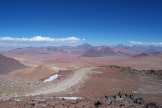
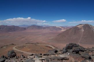
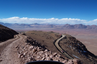
Surveillance Images
A surveillance camera records several images each day.
CAVEATS
These data are results from site characterization measurements made by Cornell and Caltech with the authorization of CONICYT and in cooperation with the University of Chile and others. They are available for use by the CCAT project and other researchers, but please note:
- Not all links are active. Some files are preliminary and may be replaced without notice.
- Some files may contain "bad" data when, for example, instruments were malfunctioning. Although we have tried to edit out these data, use the files at your own risk.
- Please do not refer to these data in any publication, etc., without contacting the CCAT Project Office first.

